Portage Bay to Anakiwa
This was going to be another tough day; we had over 20km to cover with large hills first thing and a deadline of 3:30pm to catch our water taxi from Anakiwa back to Picton. I was a little concerned we were actually going to make this deadline, as we were walking loosely to the pace of the DOC signs (depending which ones you looked at – we needed the generous estimate) and today was given 8 hours to complete.
Again we arrived at the restaurant on opening to eat breakfast as early as possible, then headed off straight up the road, seemingly ever upwards to the first peak of the day at nearly 500m. I have to say I was struggling for the start of the day; probably a little dehydrated and lacking energy. After drinking lots of water and putting the steeper sections behind us, I felt much happier tackling the remainder of the track.
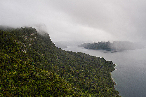
Unfortunately the views weren’t as rewarding as the previous day, this was mostly due to the forest being more mature and obscuring the views. The tree cover was appreciated though as it was turning into a very hot and humid day.
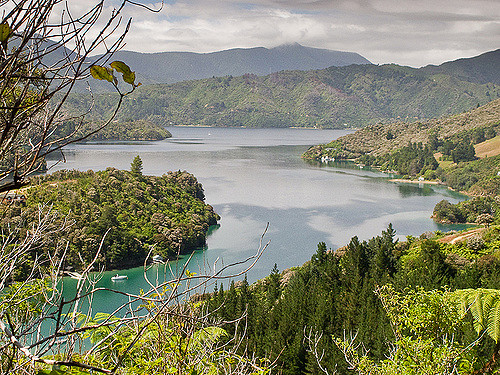 Photo by Brendon & Keryn
We started meeting people walking in the opposite direction, they’d all come out for a day trip from Mistletoe Bay to Portage. The first couple we met at the turn-off to a lookout, they were evaluating if they wanted to walk up. We had already decided to give the hour side-trip a miss since we were pushed for time, I think they gave it a miss too. We started seeing more and more people, at first looking hot a sweaty from their uphill climb, until the people were more grouped together and fresher looking. At this point we figured we must be close to Mistletoe Bay. It is a nice (if somewhat vindictive) feeling seeing other people struggle up-hill when you have the leisure of steadily walking down – I guess at least we had done the hard work earlier in the day. We also had to bypass the side-trip to Mistletoe Bay, due to time.
We steadily and gradually headed back down to sea level, meeting another couple on the way; the woman having completed the full walk the previous day, was taking her husband on a small walk from Anikiwa to the lookout over Grove Arm.
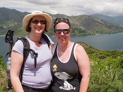 Photo by Brendon & Keryn
We pushed on past Davies Bay seeing several families playing in the water and on the beach. Just before 3pm we saw the 1km sign, another welcome marker, we dug deep to push past the hurting feet to make it to the end. We were looking forward to the 0km marker so we could get another joint photo, disappointed there wasn’t, we settled for photos at the Queen Charlotte Track sign. We did it!!
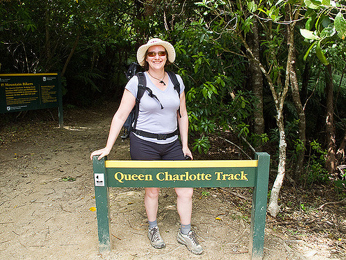 Photo by Brendon & Keryn
We made it to the dock with 20min to spare, so took the opportunity to eat a nice cold Popsicle and a rest in the shade to wait. Another woman was waiting for a water taxi too, she had just completed the whole track too, but she had the luxury of taking a week complete with 2 rest days in between too. This seemed like a magic idea after the last 2 big days.
Our water taxi collected us on time and took us back to Picton. I had fun trying to spot where we had walked and it was amazing to see how far we had actually walked in that one day. Once in Picton we picked up our bags (they had found their way back to the Wilderness Guide office), and immediately dug out our comfortable shoes.
Janet and I said our goodbyes; we were going our separate ways, Janet had a shuttle to Blenheim airport and I was heading to the ferry terminal. The shuttle driver was kind enough and dropped me off at the terminal. At the terminal I freshened up in the ladies with deodorant & clean clothes. Checked in my bags and after a short wait was on the ferry back to Wellington.
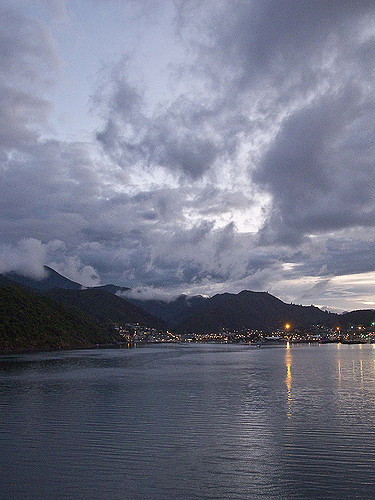
This time I stood at the front of the boat to take in the cooler air and watch the sounds go by. Again I was trying to mark our progress and it was amazing to see how far we had walked over the past four days. The ferry seemed to interrupt some slower boats in a yacht race around Allports Island.
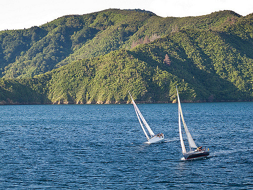 Photo by Brendon & Keryn
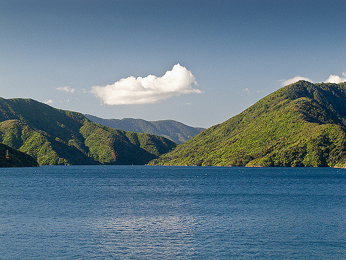 Photo by Brendon & Keryn
Once it got too cold outside I headed back in and grabbed some dinner and explored the boat. I gave up looking outside once in the Cook Straight since it was covered in fog and all I could see was white through the windows. I was amused for a while watching a young family; a teenage boy was trying to build card towers on the floor, while, I assume, his little sister was doing her utmost to annoy him. He actually did very well getting to 4 stories.
I was alerted to our arrival by Brendon ringing me, telling me to look outside at the interesting cloud formations over Mirimar and the airport.
